
Further content coming soon.
The two new Gateway walks, as yet not featured on the Walkers are Welcome map:
Mill Field Circular Walk
OS Explorer Map 180 Oxford
Grid ref: SP 3572 1947
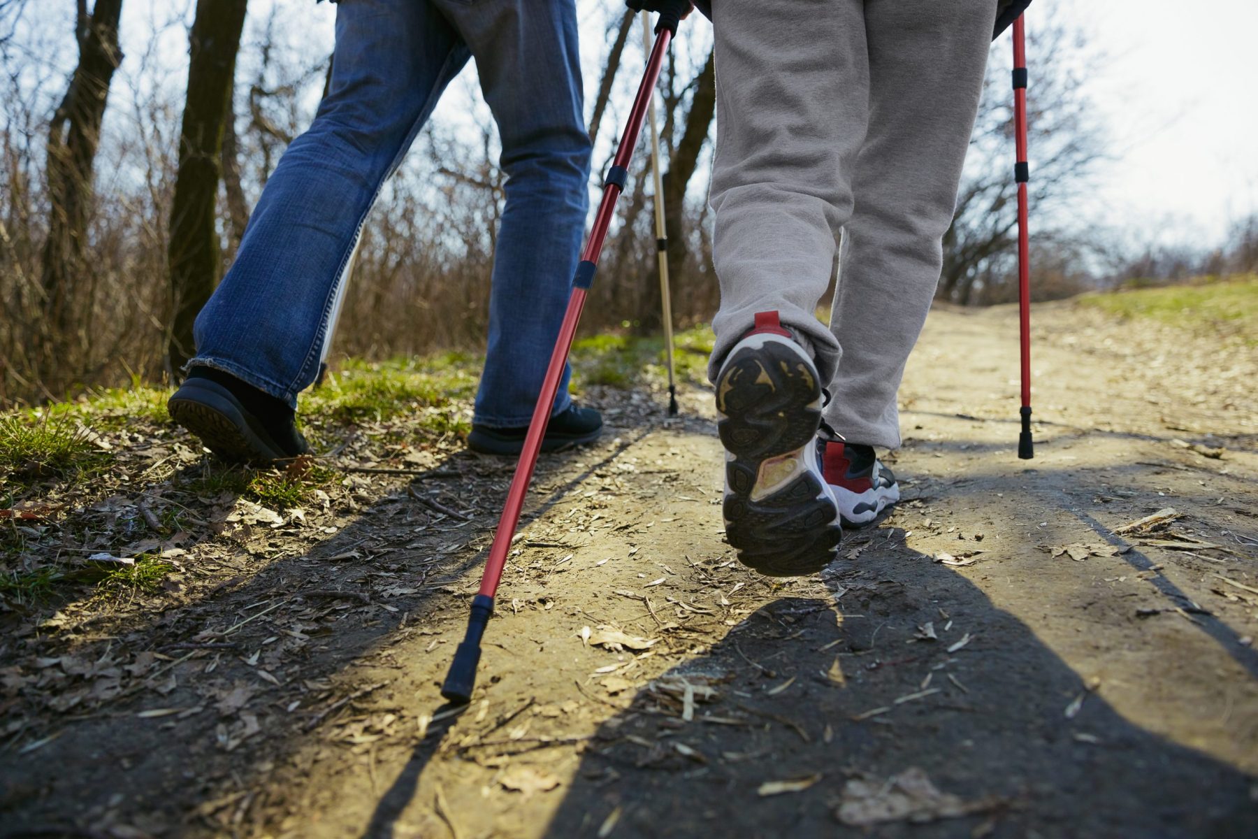
Distance: 1.8 miles (2.8 km)
Time: 45 min
Difficulty: Easy
Start: Main town car-park
This is a short circular walk that can be started either from the town’s main car-park behind the Co-op, or at the railway station.
From the car-park (1), start by going past the Co-op then turn right into Browns Lane. Continue down this road to the junction, where you will see The Bull pub on your left and the Rose & Crown in front of you.
The walk continues down the wide Church Street, then through the churchyard, past St Mary’s church. Continue through the iron gate to Church Lane; on your left is the 19th Century vicarage, now called the Old Rectory.
Follow Church Lane, with views over to Cornbury Park and the ancient Wychwood Forest across the Evenlode Valley. You now need to cross over Dyers Hill and continue down the right-hand side of the road.
Take the small turning on the right into Mill Lane (2). The route from the station joins here, coming over the river bridge then turning left into Mill Lane.
Go down Mill Lane and cross the bridge into the Mill Field. This is a popular place for walks and picnics, bounded on one side by the Mill Cut and on the other by the River Evenlode. Follow the path through the field until you reach another bridge by a weir. The path continues through to Watery Lane (3). If you come during the winter, the reason for the name becomes obvious!
Depending on the season, you can continue the walk by turning right onto the lane and following it down past the Canoe Club to the foot of Pound Hill, which could be seen across the Mill Cut earlier in the walk. If the lane is under water, then you can continue along the stone path on the left until you come to a crossing over a small brook. Just before this, take the path through a kissing gate into the field on the right. This footpath forms part of the long-distance Oxfordshire Way.
Go through the gate into the field; straight across, you will see the next kissing gate. Continue on the footpath into the next field and directly ahead in the hedge is another small brook, crossed by a bridge. Again go straight on, across the next field, until you reach another hedge with a road beyond. A kissing gate in the hedge leads you to the foot of Pound Hill and the small triangle (4) where both routes converge. You now cross the road (take care as although this is still in the 30 mph zone, traffic can be fast).
On the other side of the road, you will see a marker with the footpath continuing through another kissing gate into a field with a stream on your right. Walk across the footbridge over the stream. You now go up the side of the field alongside Pound Hill, and a gentle climb leads you to the gate where you leave the field and come into an extension of the town’s cemetery (5). Follow the paved path to the left, which goes through the cemetery. Where another path crosses it, you should turn right and leave the cemetery by the field gate (6). At this point the circular walk continues slightly to the right, up through this field – which forms part of the Wigwell Nature Reserve, managed by the Wychwood Project – to the road by the Scout Hut. By turning left you can join the next permissive path, which leads to The Old Shed café and the Cotswolds View Camping and Caravan site.
Continuing the current circular walk, you now cross the road (Nine Acres Lane) and take the steps leading to a footpath (7) alongside the Nine Acres recreation ground and the tennis courts. Pass the Community Centre and continue across the Co-op car-park to complete the walk.

Click here for route and map on separate document
Banbury Hill circular walk
Banbury Hill Circular Walk
OS Explorer Map 180 Oxford
Grid ref: SP 3572 1947
Distance: 2.2 miles (3.5 km)
Time 1 hour
Difficulty: Easy
Leaving from the Coop (1) follow the Enstone Road to the left past the Health Centre to the crossroads . Take care at this busy junction and cross lane to the left of the junction. Then cross again to the right-hand side of Enstone Road and walk away from the junction.
Further down the road a public bridleway, Hundley Way leads straight on (2). Follow this bridleway and look to the left for a pleasant view over the valley and countryside beyond. Continue past all the houses until the track goes down the left-hand side of a field. Follow this for about 500m to a gate in the hedge which is marked ‘permissive path to Banbury Hill Farm’(3). At this point you make take a longer route to Ditchley Park by continuing on the track. To continue the circular walk, go through the gate and down the steps to the corner of the field and turn right at the marker post. After 150m there is another way marker on the left and go up the footpath to a gate into the wood (4).
Follow the surfaced footpath to the left. After about 300metres turn left to follow the path along the boundary of the wood. If you wish to visit the Old Shed for refreshments follow the signs.
To follow the circular path to Charlbury turn right and then left. Continue on the path which winds along the boundary and finally come to a metal pedestrian gate (5). Go through this gate to the road.
Take care crossing at this point, it is a busy road with fast traffic . Once across the road turn left onto the wide verge. A little way down the verge at the corner go through a gate to the right of the hedge which runs along the side of the road. The footpath now goes down the left-hand side of a large field. At this point there is a fine view across to the Evenlode Valley and Wychwood Forest. Continue down the path through the gate. The public footpath to the right, leads to Spelsbury and provides a longer walk.
Go through another metal gate and then turn right to go through a wooden gate (6) which goes through Wigwell Nature Reserve. Follow the path which can become muddy at times until you reach the main field. Here the permissive path branches into two. The path going up the hill joins the public footpath to Spelsbury.
For Charlbury take the path straight on which goes across the field to a way marker where it turns left to go down to the stream. Go through the metal gate onto the footbridge (7) to cross this stream and then turn right to go up the bank on the other side. This leads uphill to a pedestrian gate. Go through this and continue straight on across the field when you will see the town Cemetery on the right. A public footpath goes through the gate into the cemetery and the Mill Field Circular path (see separate guide) If you want a longer walk this leads to the station and also back into the town.
To take the direct route go left on the path and then through a wooden gate onto Nineacres Lane. Take care crossing this road and then go up the steps to the path that goes to the right of the tennis courts and the Community Centre to the Spendlove Car Park . The Town centre may be reached by turning left past the Co-op store and going down Browns Lane.

Click here for route and map on separate document
For other walking routes around Charlbury visit: https://www.charlbury.info/walking
Walkers are Welcome Charlbury can be found here; https://walkersarewelcome.org.uk/2019/01/charlbury-a-cotswolds-gateway-town/